
Define Study Trip 2025


Seeing Our Efforts Bloom in Kent

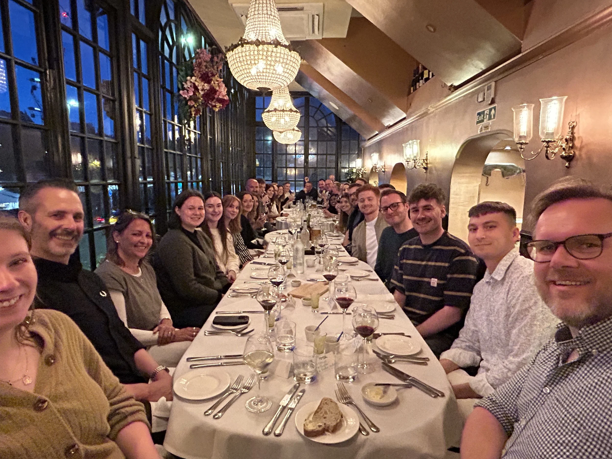
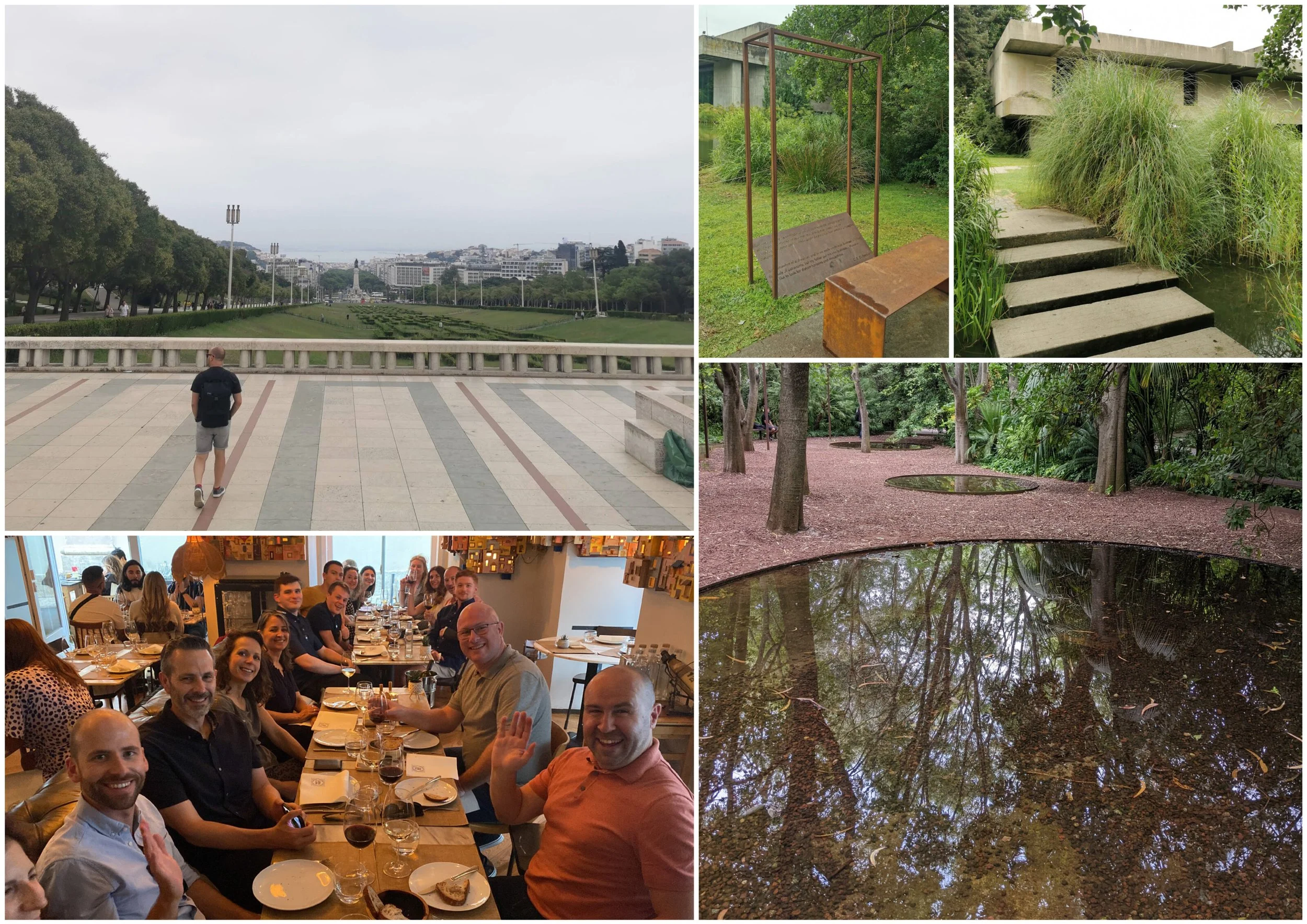
The 2025 Define study trip took our team to Kent – the Garden of England – to explore our work in the region, reflect on our progress, look ahead to the future, welcome new colleagues, and celebrate our shared achievements.

Learning & Knowledge Sharing

Across two days, we combined learning with connection – an opportunity not only to exchange ideas and experience, but also to get to know one another beyond the workplace.

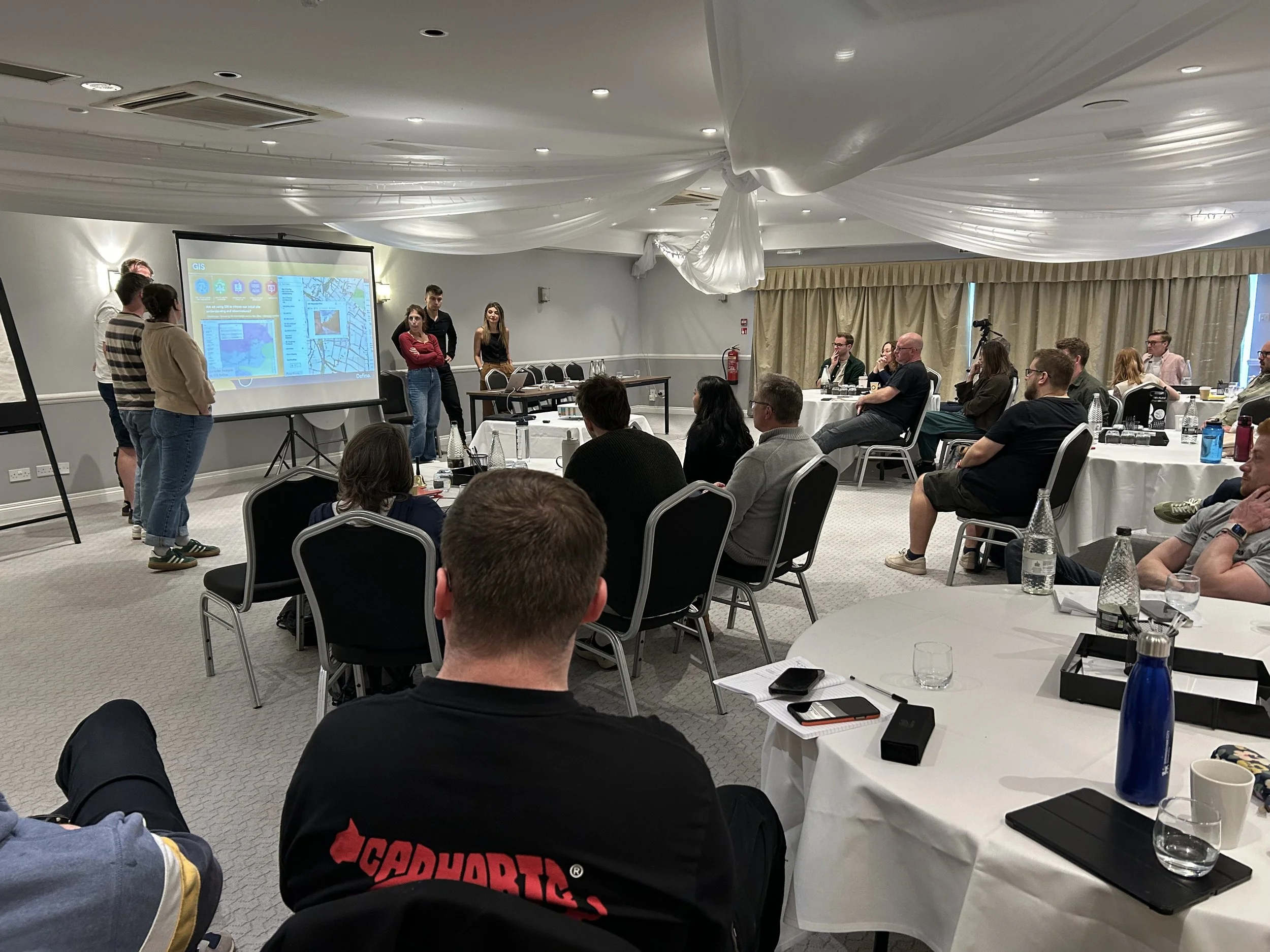
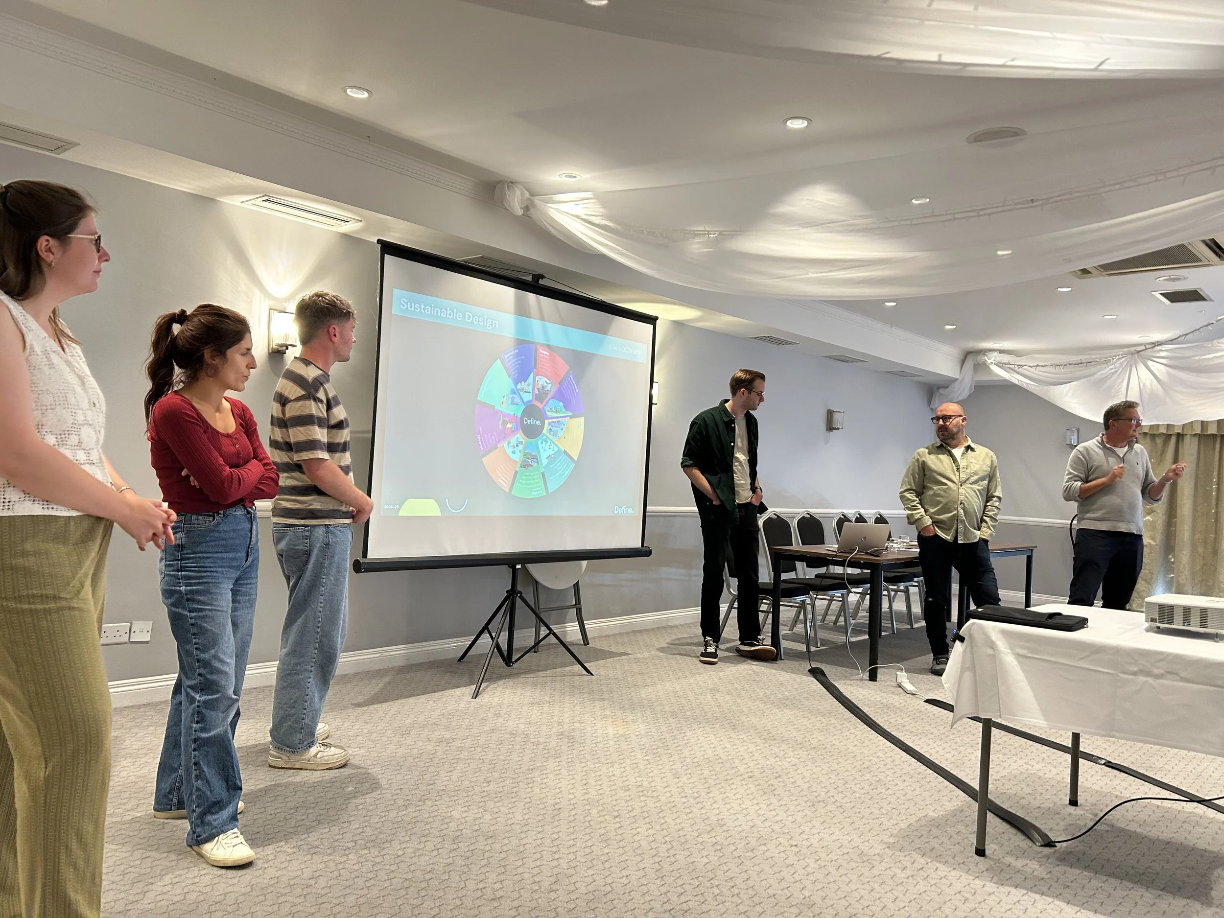
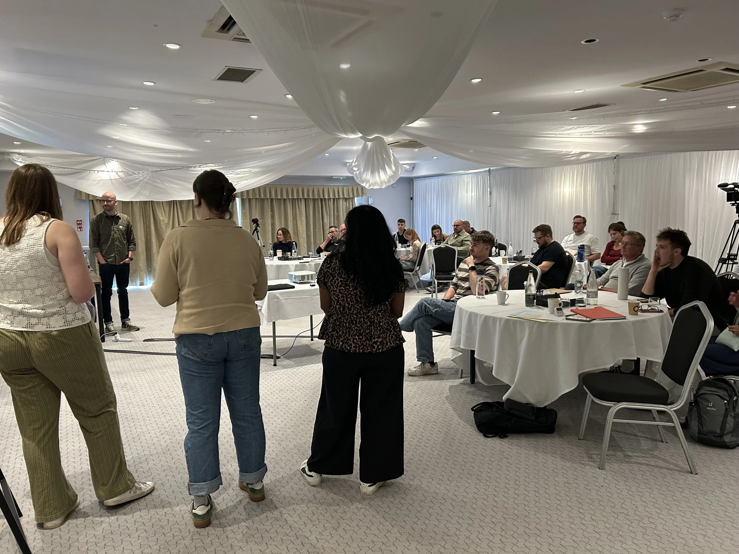
We dedicated time to sharing outcomes from our best practice research, covering a wide range of themes explored over the past year. Our own mini-conference proved a brilliant forum for exchanging insights, celebrating progress across projects, and gathering practical takeaways from each other’s experiences.

Exploring Define Developments

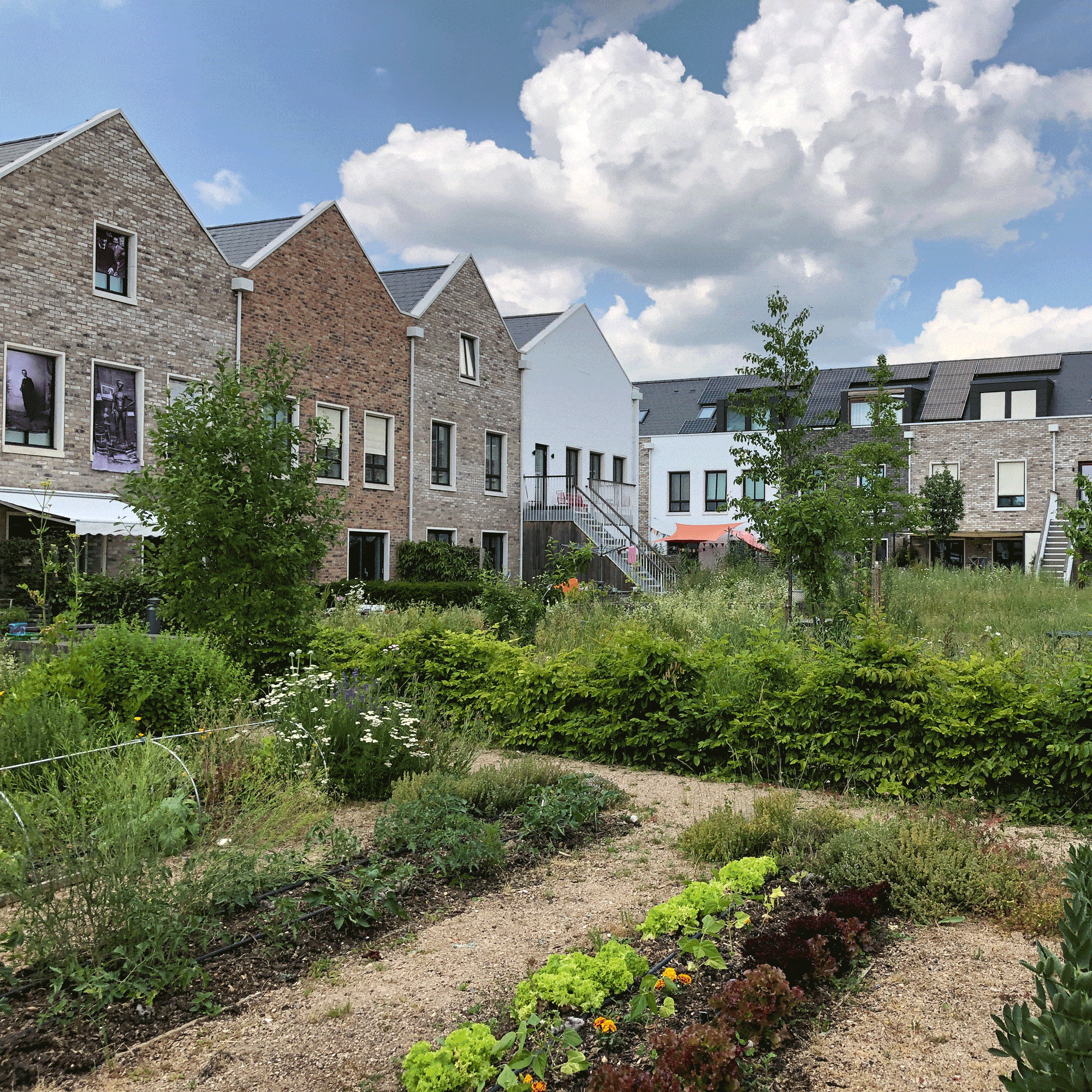
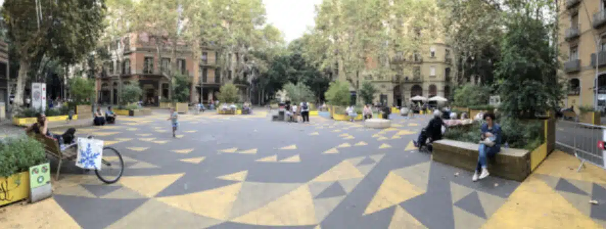
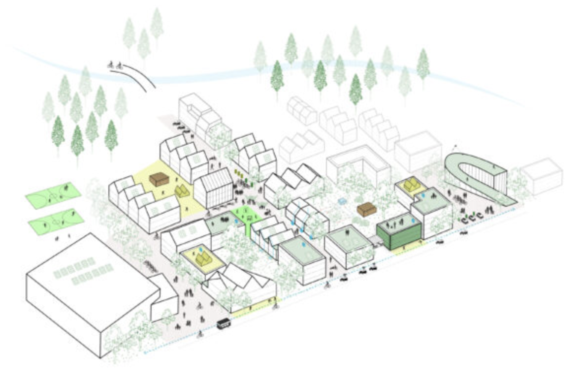
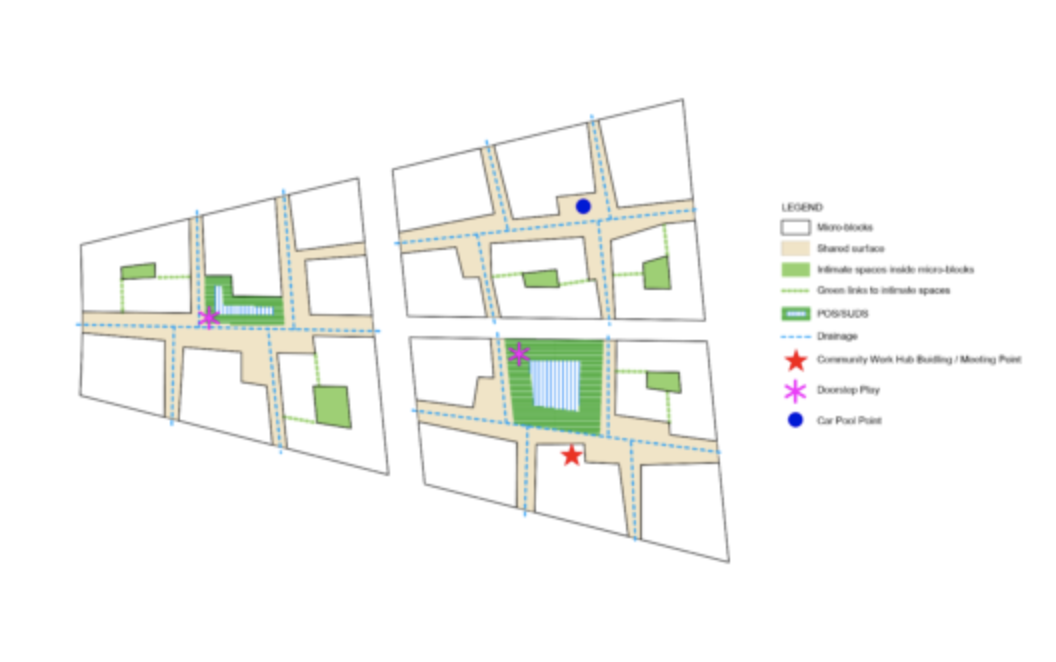
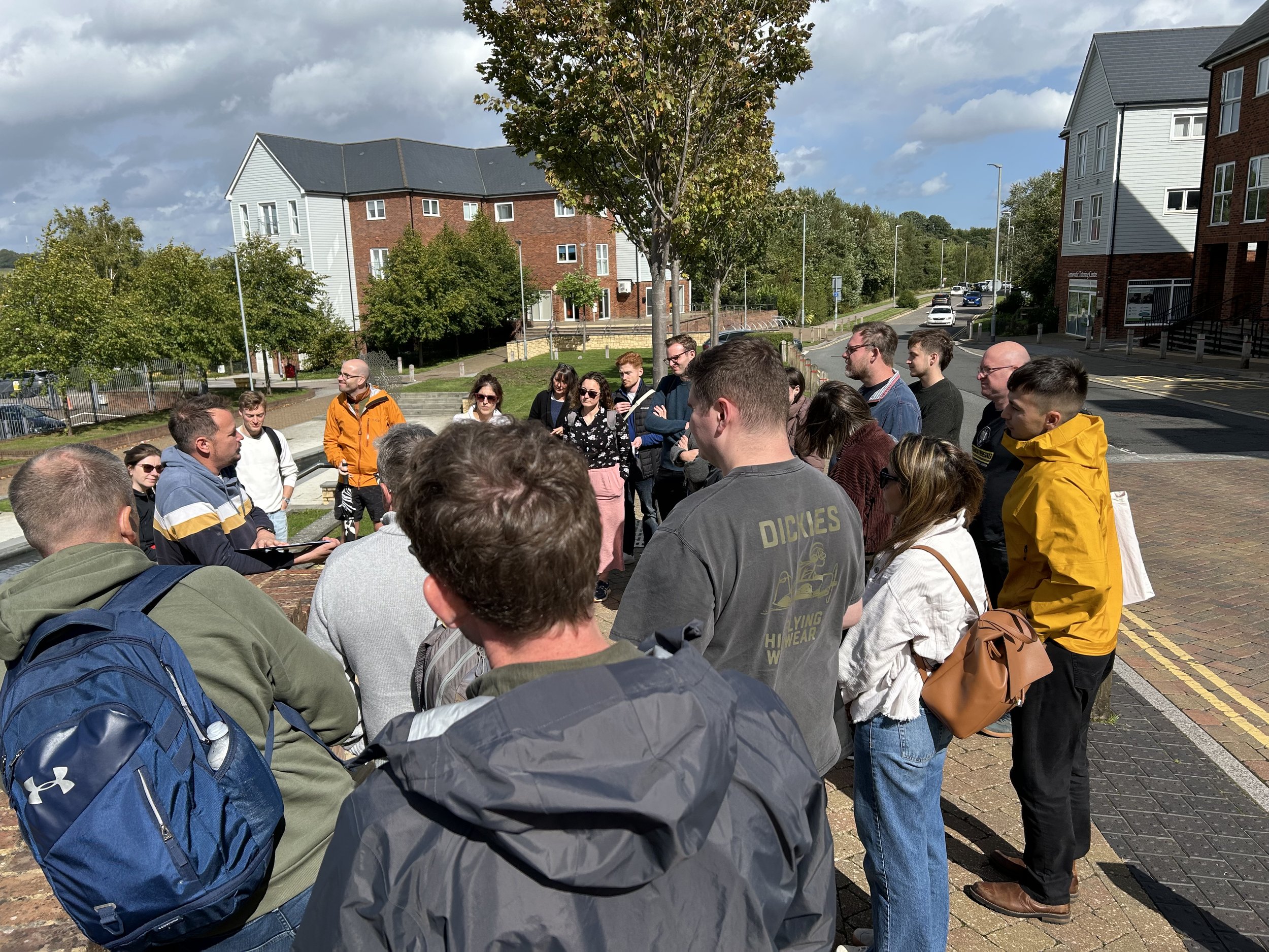
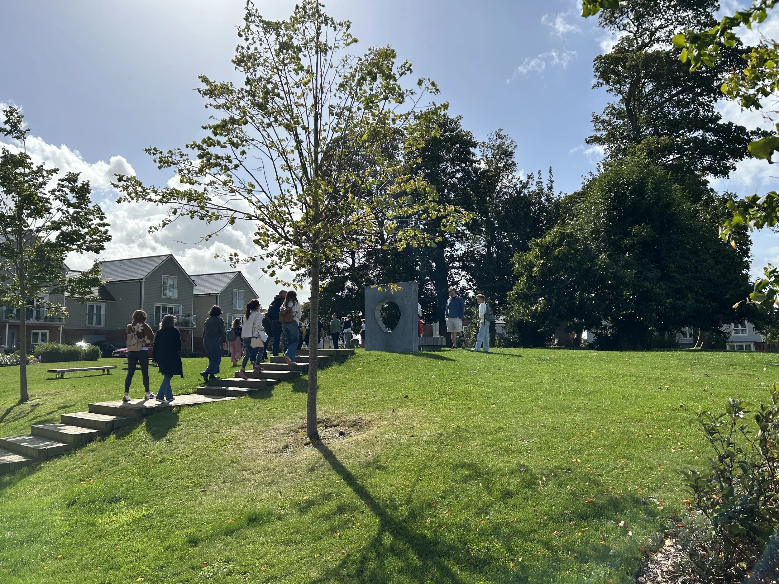
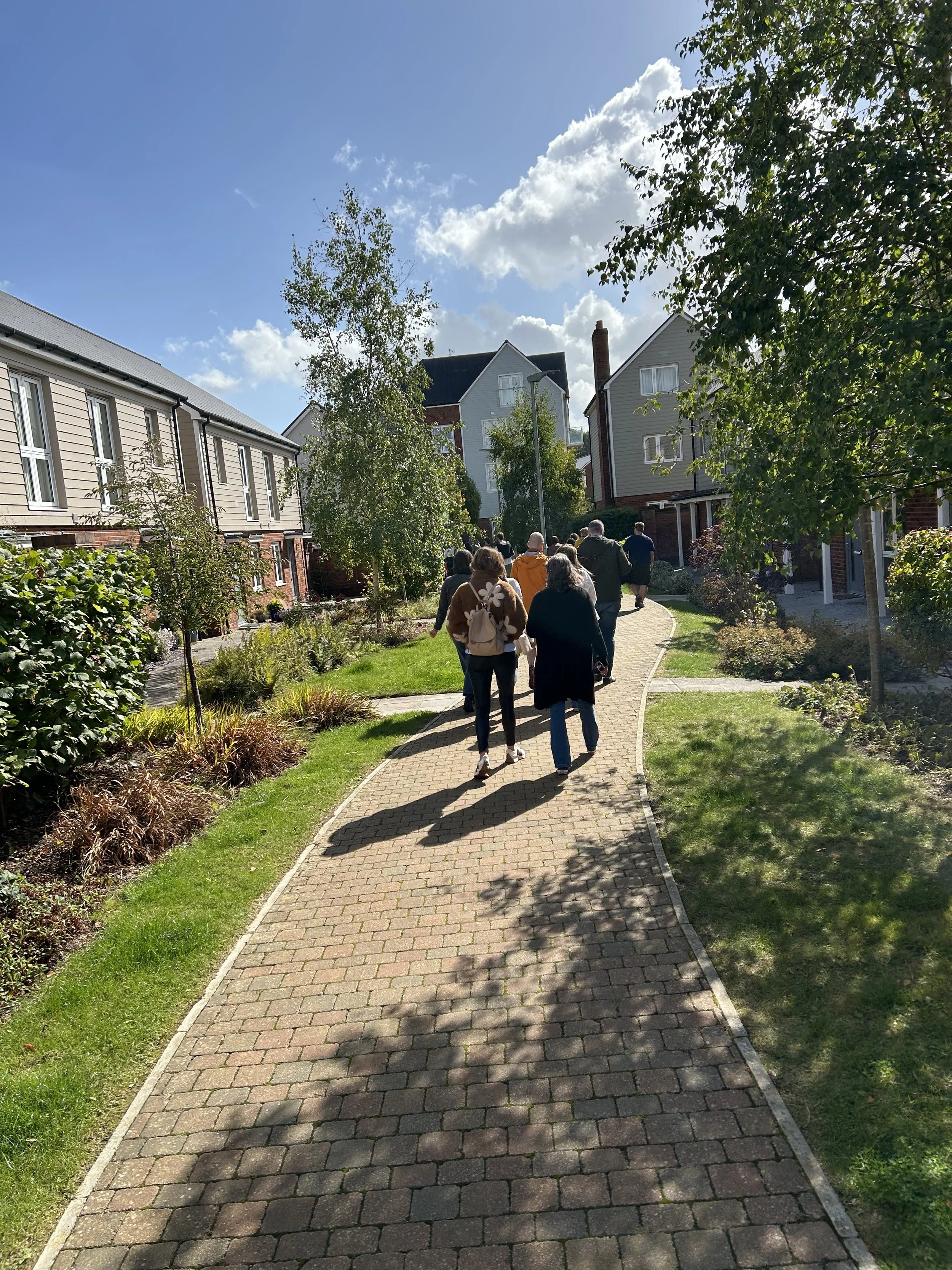
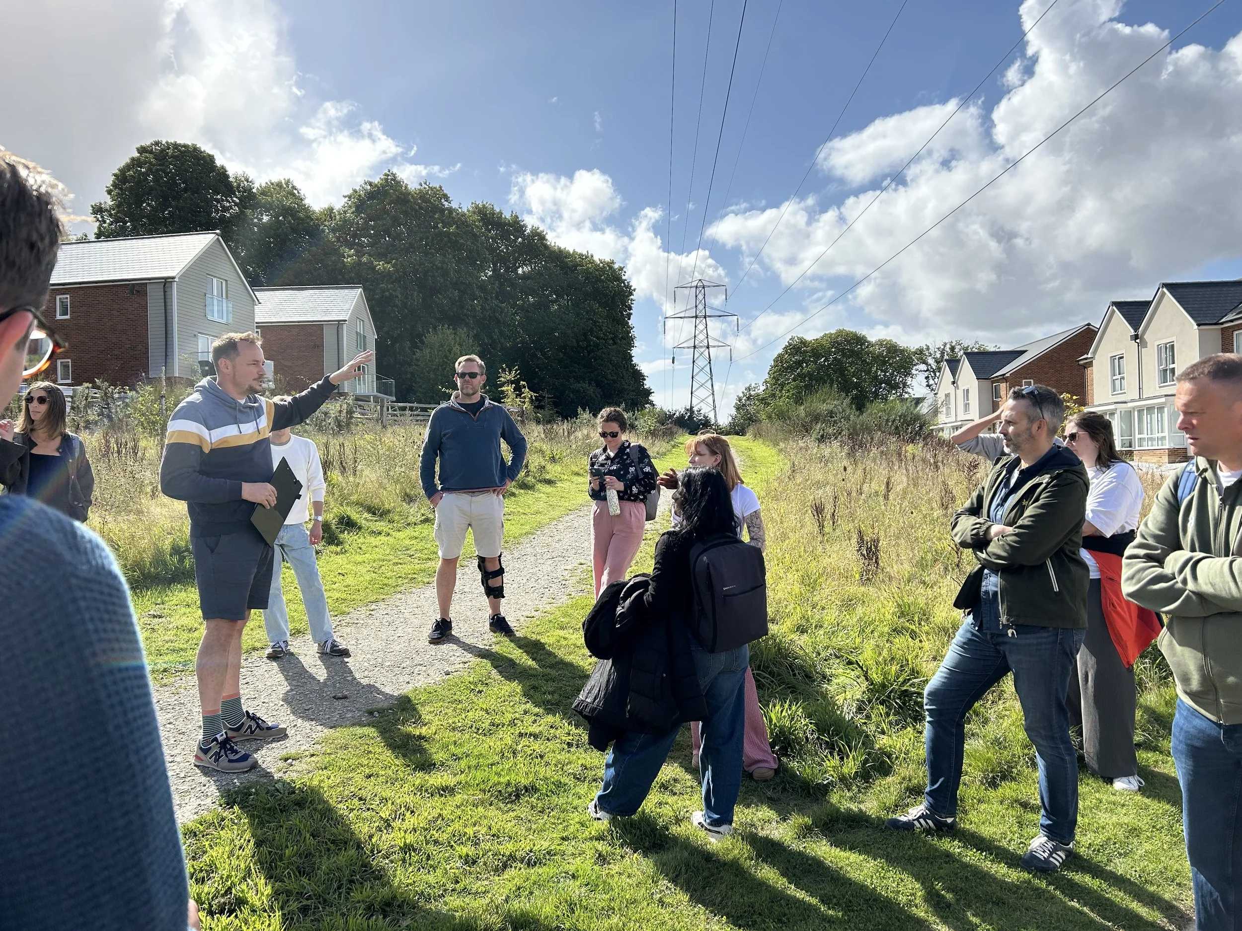
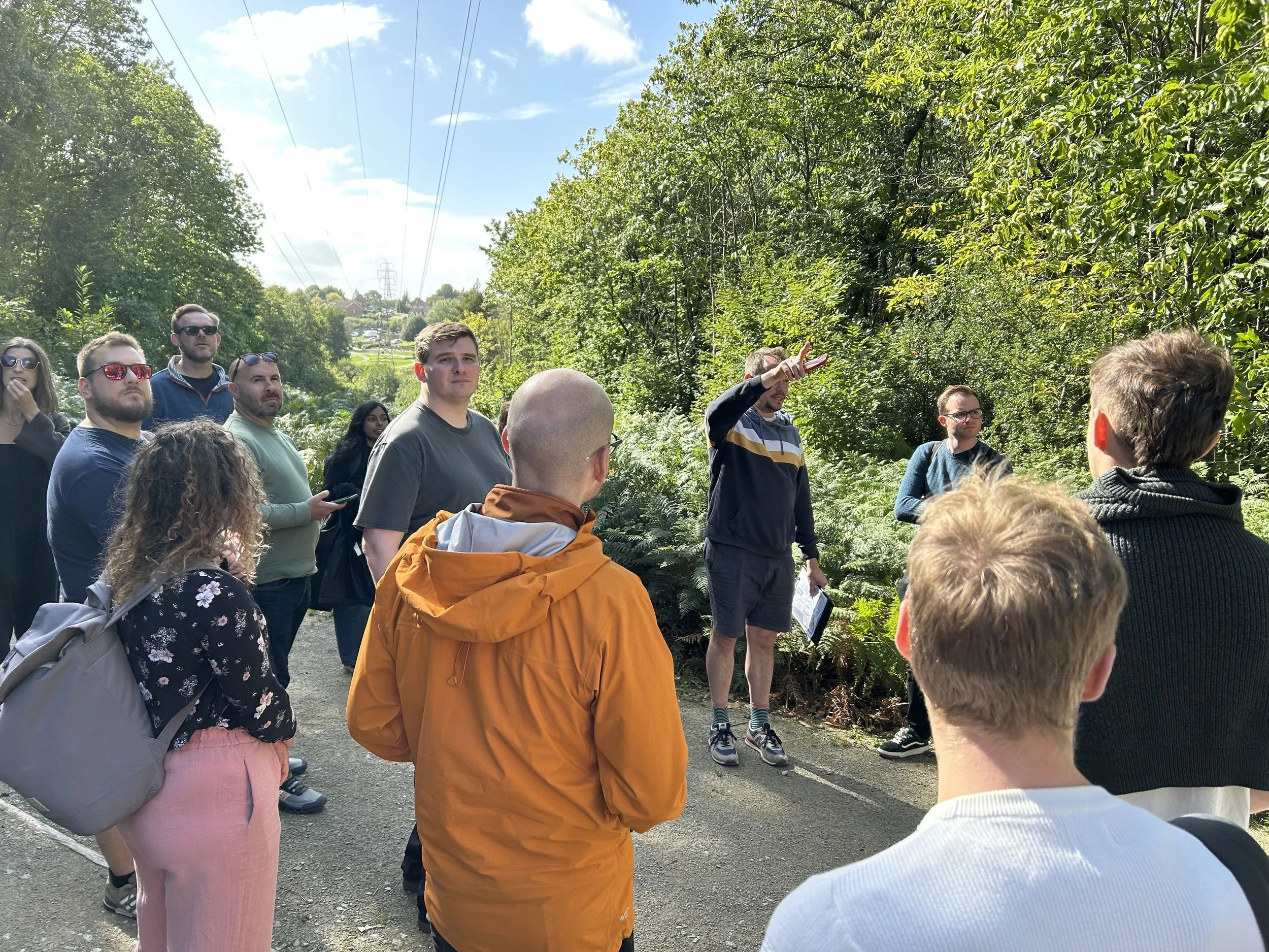
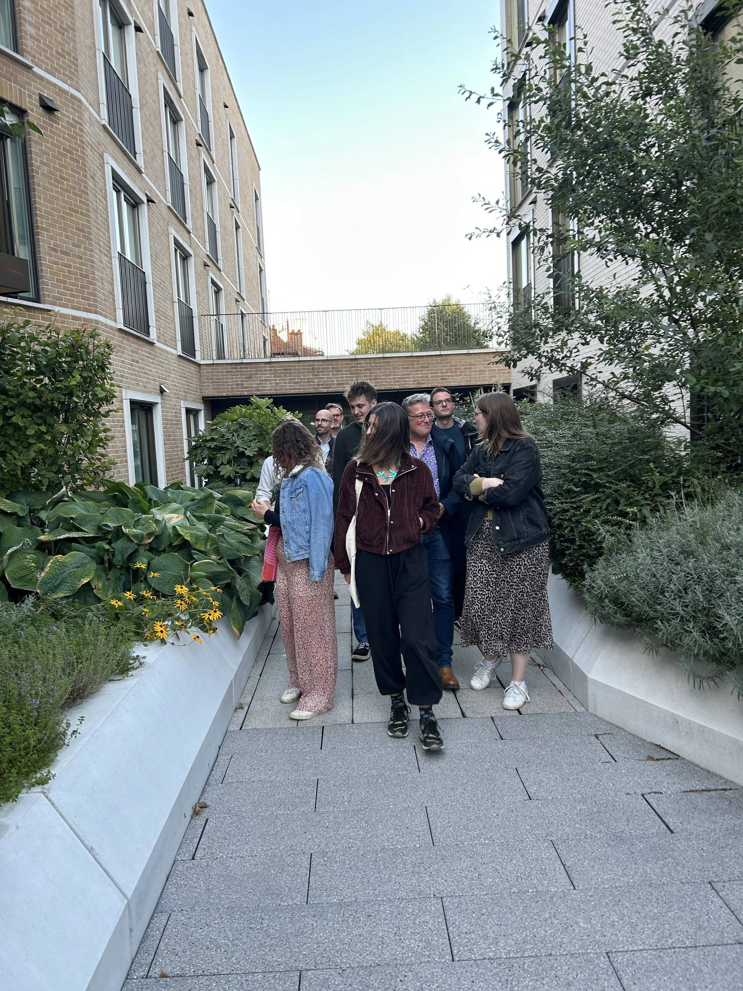
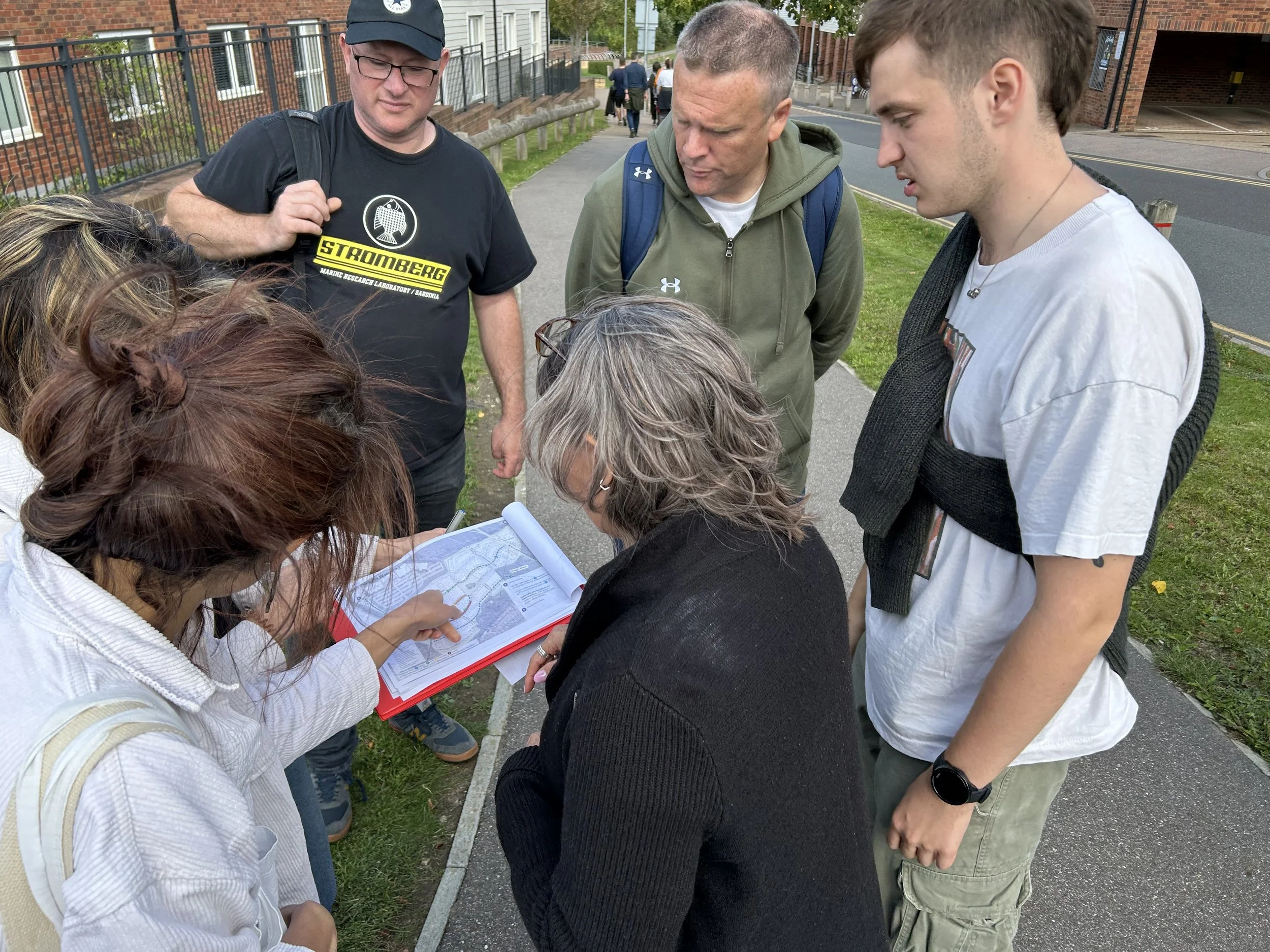
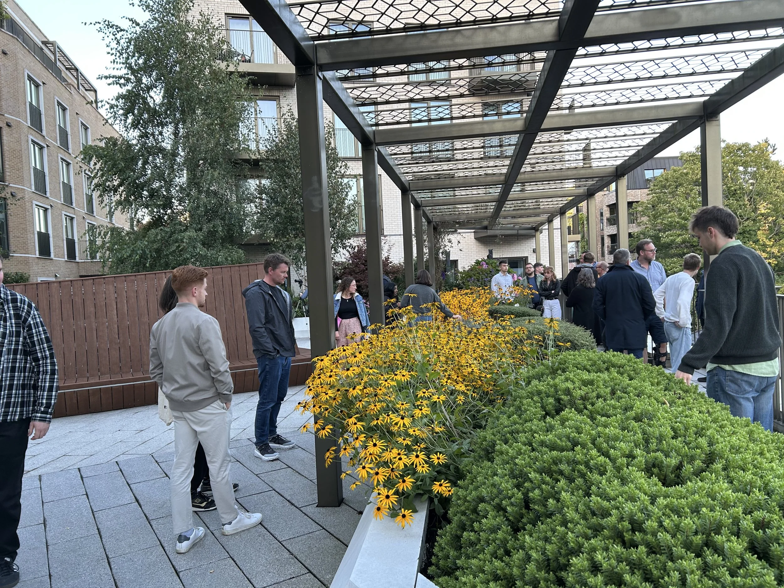
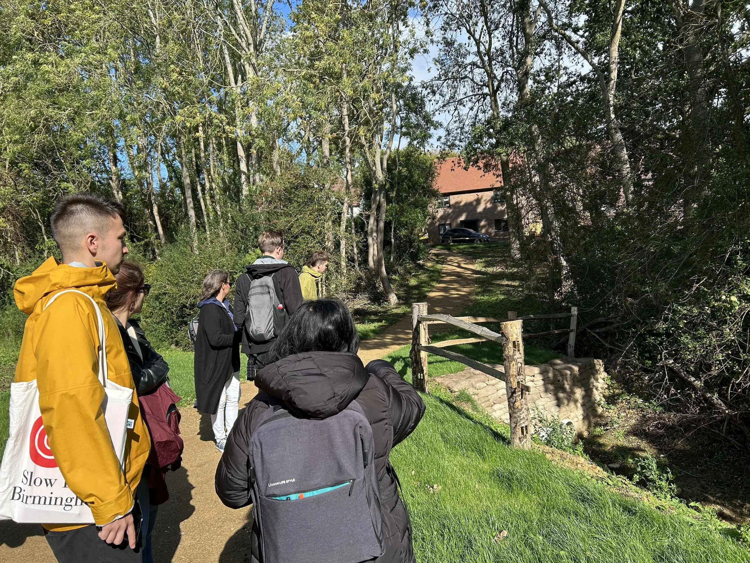
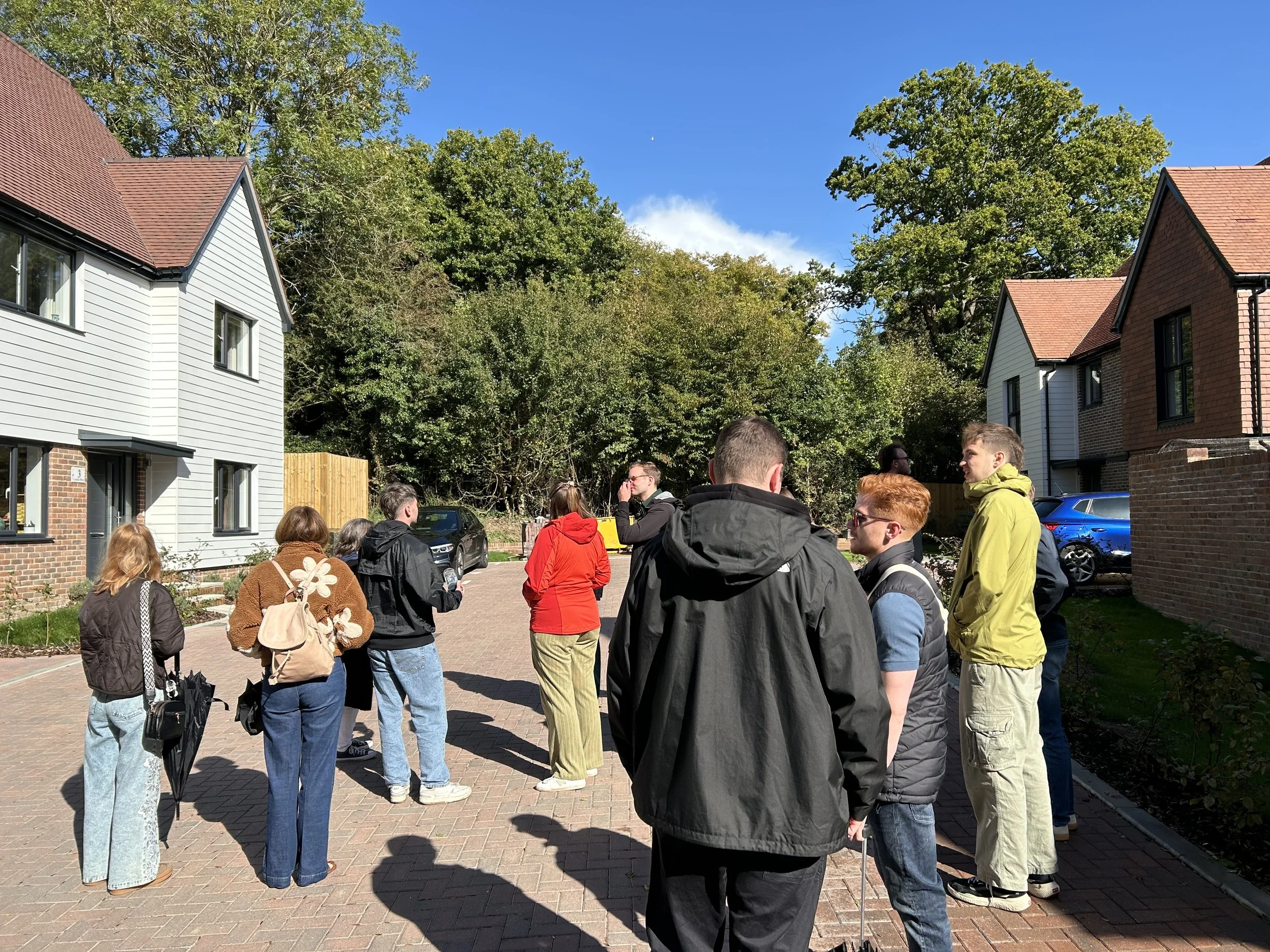
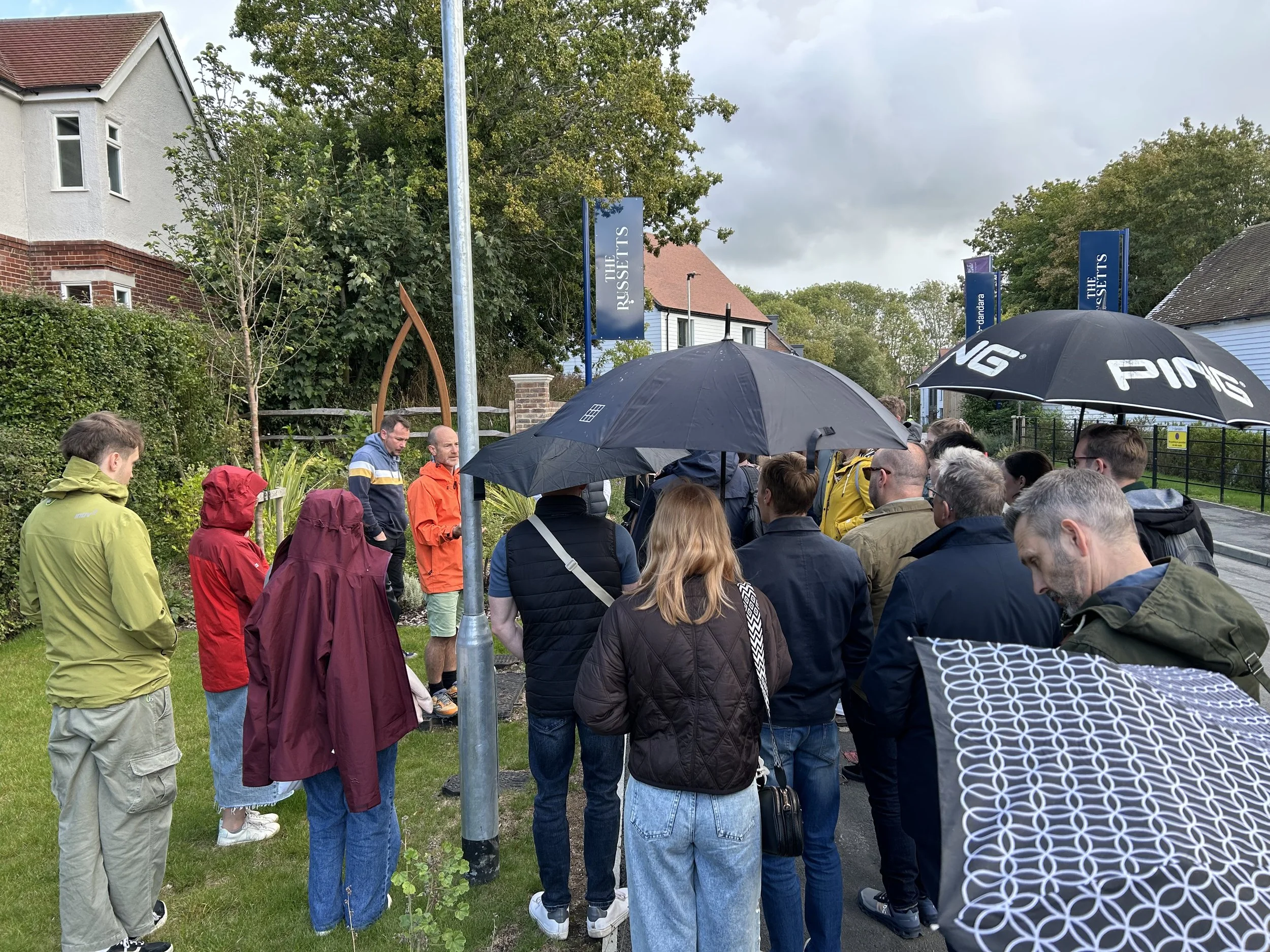
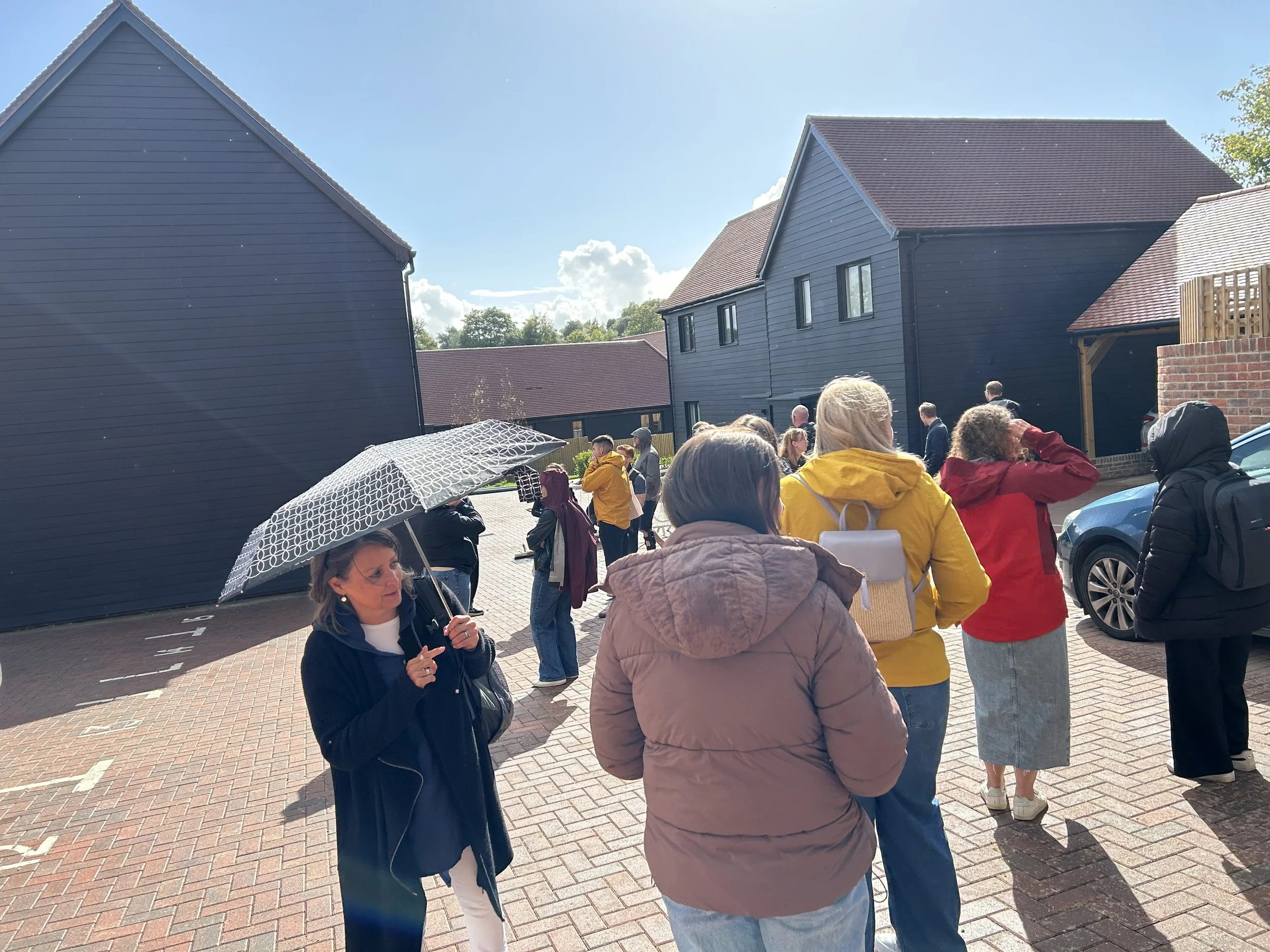
We also visited three developments that Define is proud to have helped shape and deliver – Knights Wood, 1887 The Pantiles, and Hawkhurst.

Each site presented its own unique challenges, inspiring a distinctive placemaking response. Experiencing these places first-hand – vibrant, lived-in, and thriving with residents – was both rewarding and motivating; a powerful reminder of the lasting impact that thoughtful design can have on the communities we help to create.
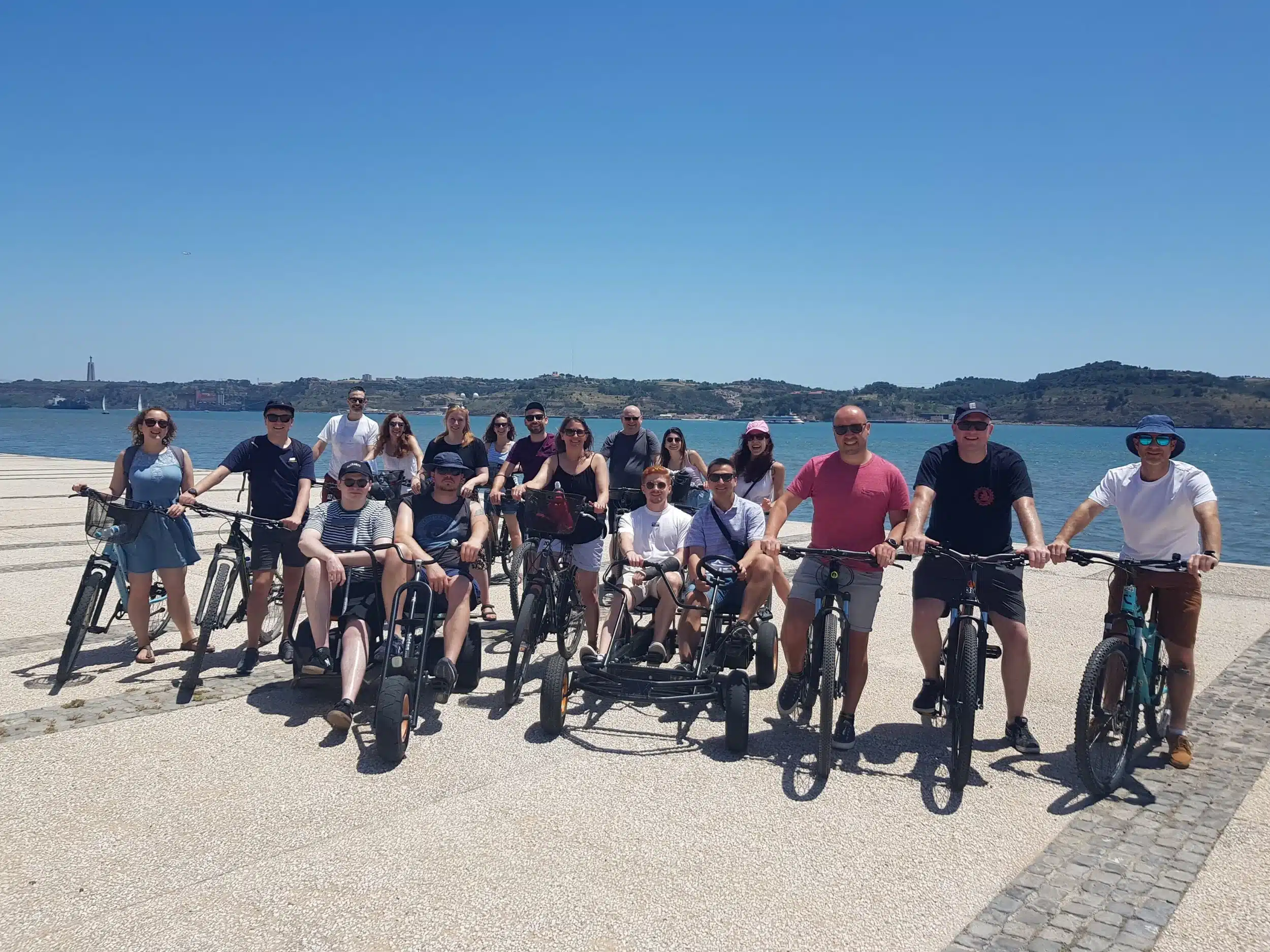
Energising the Team

Our second day began with a burst of energy as those team members brave (and awake!) enough took on an early-morning bootcamp session – a lively and slightly testing way to kickstart the day.

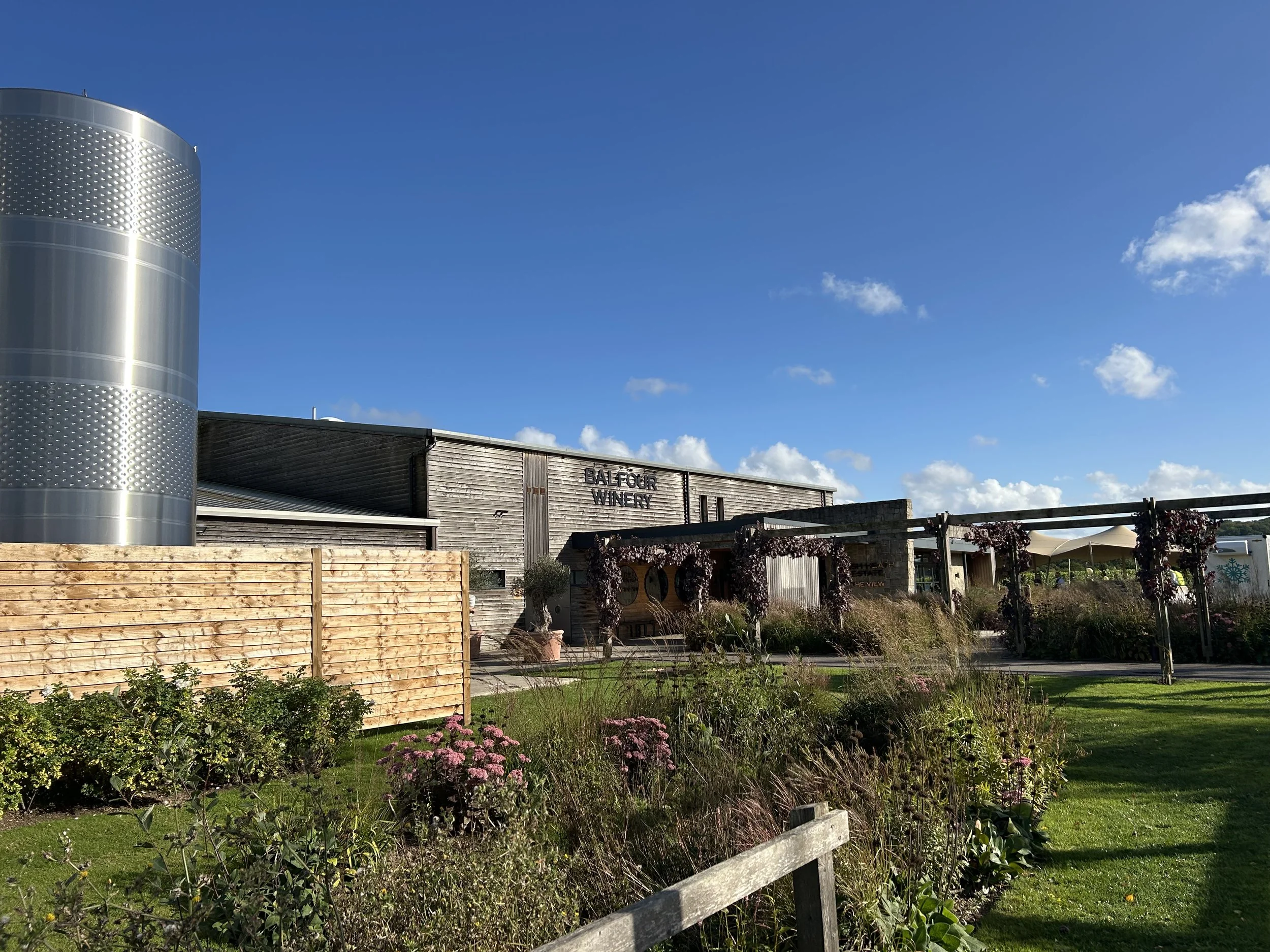
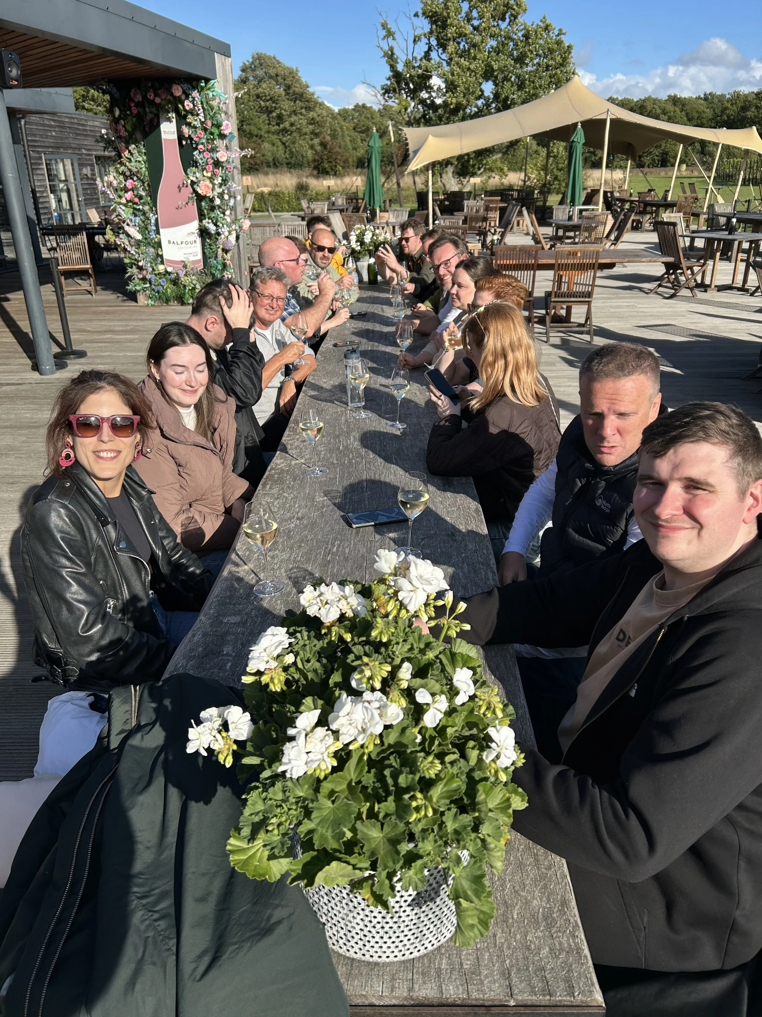
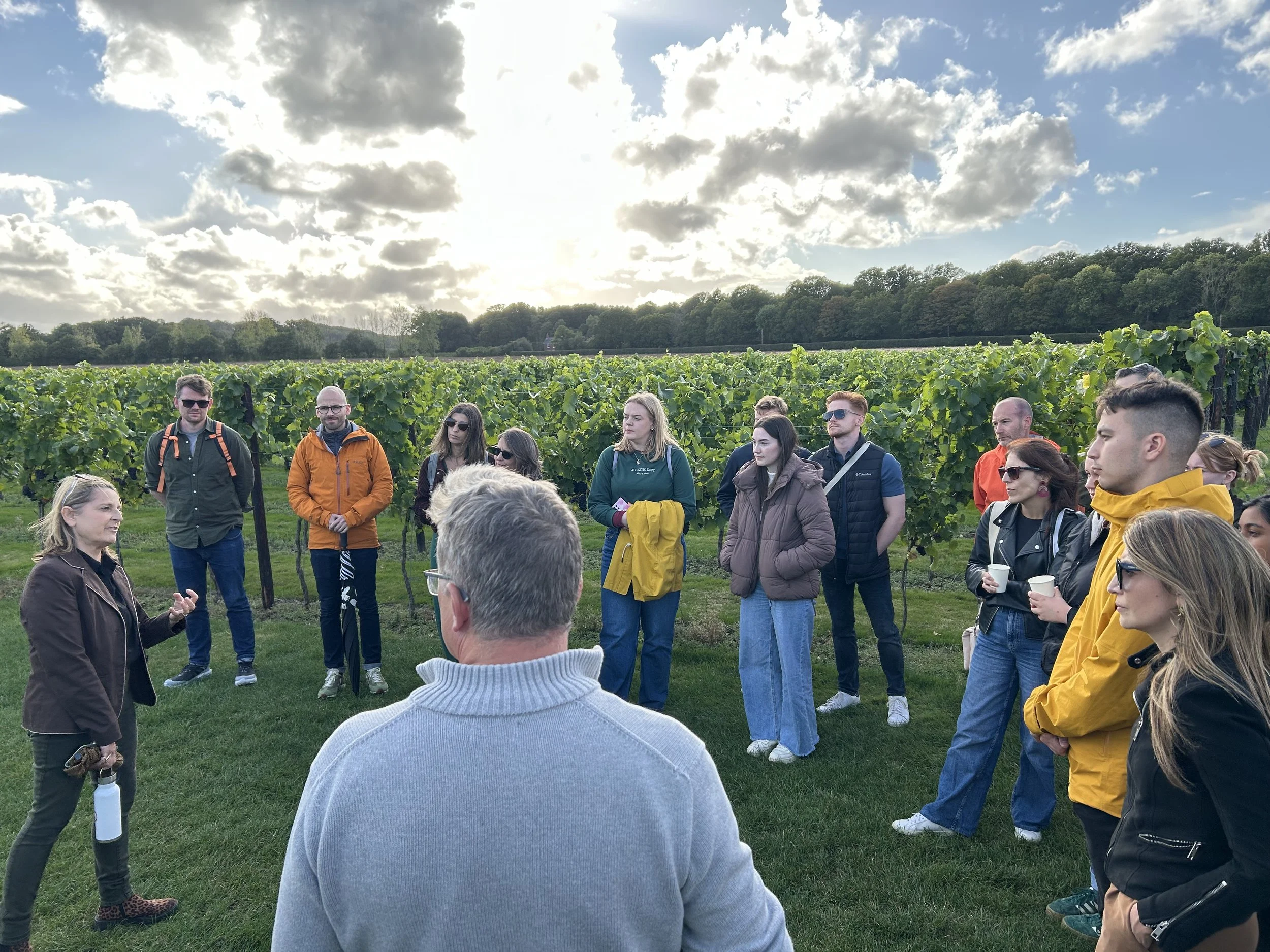
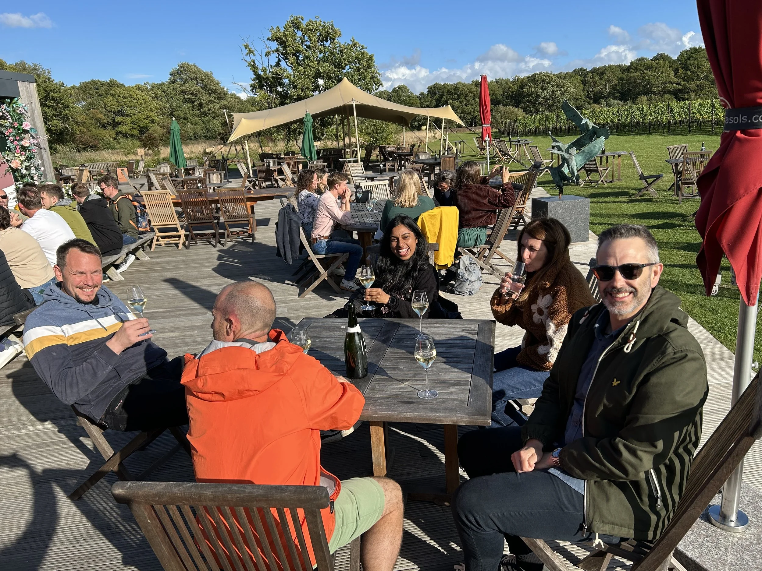
Later, the pace slowed as we traded running shoes for wine glasses at the beautiful Balfour Winery. It would have been impossible to visit Kent – famed for its flourishing viticulture – without sampling some of its finest wines. With fertile soil, a gentle climate, and a deep-rooted passion for quality produce, the county is fast becoming a hub for exceptional English winemaking. Naturally, we couldn’t resist indulging in a few local varieties together – and Balfour did not disappoint.

A Perfect Balance

The trip struck a perfect balance between work and play. It gave new starters the chance to connect with colleagues in a relaxed setting, while long-standing team members enjoyed fresh perspectives and renewed energy. Above all, it reminded us of the value of stepping away from the office, spending time together, and celebrating what we’ve achieved as a team.

Until next time, Kent – you’ve been wonderful!

The Jewellery Quarter Uncovered: Challenges and Change

We collaborated with Women in Planning West Midlands to create a walking tour around the Jewellery Quarter, exploring community responses to regeneration and the power of adaptive re-use.

The walk brought together local planners and designers to explore the ever evolving neighbourhood. The event included various talks spotlighting projects and initiatives across the JQ whilst exploring the impact of planning and design within an urban environment and the role that adaptive re-use has had throughout the regeneration of the area. 

Please see below the route we took during the walking tour.

Appreciating the Social Value embedded in Co-housing

Last September we booked to attend a guided tour at Marmalade Lane, as part of our office study trip in Cambridge, seeking inspiration from UK best practice precedents. It was a unique opportunity to engage directly with local residents, listen to their stories and learn from their living experience and design involvement in a scheme that we’ve used regularly as a precedent in our work.

Marmalade Lane is an innovative, 42-home new co-housing community that forms part of the wider Orchard Park scheme in North Cambridge and is widely-regarded as a modern exemplar. It was developed following a collaborative design process and an innovative partnership between the Council, TOWN (the developer) and the future residents.

What makes the scheme unique, is the provision of high quality social infrastructure that encourages a more sociable way of life and contributes to wellbeing.

Residents have access to a wide range of shared spaces and facilities (such as the common house, the workshop / gym, the community shop, the shared gardens, the lane) and an active role in the onward management, use and maintenance of them. All of the residents are members of ‘Cambridge Co-housing Limited’ and have a stake in the running of common parts of the scheme which they also financially contribute to through an annual service charge. Many of the residents have been involved in the design and planning process from the outset which reinforces the sense of ownership of the place they live in and engage with, as well as a shared responsibility towards the long-term maintenance and improvement of its infrastructure and assets.

Marmalade Lane follows an innovative housing model, where private space gives way to community space with high social value and significant environmental benefits. A car-club and shared cargo bike scheme are provided to contribute to a reduction in private car ownership with reduced car parking, concentrated on the periphery to make space for people-focused public realm accommodating play, food growing, sustainable urban drainage, water collection, compost and space for intergenerational gatherings at the heart of the scheme. Small private gardens with low fences lead to a more sociable way of life between neighbours that encourage more time being spent in shared spaces. Guest bedrooms for visiting friends and relatives in the common house reduce the need for having a spare room at home and the common dinning room, kitchen, laundry room, play rooms and space for working reduce the spatial requirements of the private homes.

One of the most fascinating aspects of the project is the way it has evolved and continues evolving over time, addressing people’s ever-changing needs. For example, during the COVID-19 pandemic, the urgent need for robust social support systems led to the partial conversion of a storage area that wasn’t used into a community shop that became the main generator of social interaction between the residents.

There is definitely a lot to learn from Marmalade Lane. The community led approach applied here is forming a source of inspiration for community hubs and long-term stewardship models in a wide range of our current projects. There is a real value embedded in social infrastructure and responsive design, especially when the community spirit and sense of ownership have the power to stand the test of time, beat loneliness and result in better placemaking.

Environmental Colour Assessment

Introduction

Colour forms part of the character and identity of our towns and landscapes and plays an essential role in how we perceive and use spaces around us. Across the disciplines at Define, we view colour as a powerful tool in creating successful places. The appropriate use of colour can create identity and provide legibility to a place, it can celebrate and draw attention to a feature, or it can enable a building or landscape element to be lost in a view.

What is ECA?

Environmental Colour Assessment (ECA) is the process of collecting and analysing colours within a landscape or townscape, to inform and guide choices in relation to the use of colour in that particular environment. It is an objective process which aids in the selection of colour in a development, with the aim of resolving many of the issues surrounding specifying colour in an external environment. The main objective of ECA is to produce a ‘range’, ‘chart’, or ‘palette’ of colours that is used to inform and guide choices in relation to the introduction of colour on structures – and associated hard and soft surfaces and materials – within a particular environment.


A brief for an ECA may vary from project to project, ranging from effectively camouflaging or minimising the visual appearance of a utilitarian building, to emphasising the distinctive character and qualities of a place through architecture, expressed in colour, form and massing. The requirement for the approach to new development to be ‘landscape-led and iterative’ means that ECAs are increasingly being asked for to accompany planning applications, and are often being carried out alongside Landscape and Visual Impact Assessments and Appraisals (LVIAs / LVAs). We’ve noticed an increase in interest in ECAs over the last few years, including from clients and other disciplines as well as local authorities.

How do we use it?

We first encountered ECA during our work on Hawkhurst, when colour formed an important component of our work on the project, in particular, the vernacular study and the design of bespoke house types. The principles from the published local “Colour Study” by High Weald AONB were used to ensure an appropriate use of colour in this highly sensitive scheme. Since Hawkhurst, we have been further developing our ECA methodology and we now use the ECA process to aid many projects; reducing the landscape and visual impact of developments, ensuring new built form is successfully assimilated into a landscape, and working alongside local authorities and project design teams alike to formulate a colour palette which can directly inform the materials and products used.

 An extract from the Design and Access Statement for Hawkhurst.

Recently, we produced an ECA for Langleybury Film Hub after the local authority encouraged its use on this scheme. The ECA identified a palette of colours that were representative of the existing landscape and which would match, or be slightly darker than, the tonality of the landscape background against which the development would be viewed. Through a series of cross-disciplinary workshops and design reviews with the project architects (IF_DO), proposed cladding materials selected to meet the colour palette recommendations that were recommended by the ECA. These new materials, alongside specific requirements for these finishes to reflect the ECA directed colours, were then set out in the Design and Access Statement and the Design Code. The ECA also formed an appendix to our Landscape and Visual Impact Assessment chapter of the Environmental Statement, and the use of the principles set out in the ECA for building facades included as embedded mitigation; with the view for the implementation to be set out as a planning condition.

 An extract from the ECA for Langleybury Film Hub (with input on materials provided by IF_DO Architects).

What is the process?

 Swatches can be taken from a range of natural and man-made elements of the environment.

1. Landscape/Townscape and Visual baseline study
ECA usually begins with desktop studies similar to those carried out for Landscape Character Assessment, in order to gain an understanding of the landscape’s natural, cultural and visual baseline and appreciate the basis for the area covered by the palette.

2. Field Analysis
The next stage of the ECA is undertaking the on-the-ground surveys, during which the baseline colours within the given area are collected, identified and recorded, with the surveyor making informed judgements about which colours to collect.

3. Technical Analysis
These surveyed colour ranges and dominant tonalities are then analysed, synthesised, and arranged into representative palettes that reflect the area’s character and qualities.

4. Design Recommendations
If the ECA is required to go on to recommend colours, either as guidance for future development or as part of the design process for a specific development, the baseline study results are then used to develop colour ranges that respond to the project brief’s requirements. These colour recommendations are best when fed directly into design discussions with those involved in the specification of materials and products (such as architects and clients).

Guidance on Environmental Colour Assessment is set out in the Landscape Institute’s Technical Information Note 04/18 ‘Environmental Colour Assessment’.

Why use it?

  • Increases design quality

  • Reduces planning uncertainty, and reassures stakeholders and officers

  • Minimises landscape and visual impact

  • Is often a planning requirement

  • Can improve coordination between different developers / areas

  • Can form part of Design Codes

Inspiration from Lisbon.

This summer Define went on our annual overseas study trip, which this year was Lisbon. Our study trips are a great way to find design inspiration, and learn about both new and old architectural, urban design and landscape. It’s also a chance to get to know each other more and great for team building. It was especially nice for everyone to get to know Tim, who joined the Define team just a few weeks prior to the trip.

On our first day we headed for the waterfront to the south-west of the city centre, which has undergone heavy regeneration over the last few decades. The docks and industry along the river have given way to a series of public parks and plazas, and destinations such as the Lisbon MAAT (Museum of Art, Architecture and Technology). It also has a great cycle route along its length – tried and tested by Define!

We also visited Parque dos Poetas (or “Poet’s Park”), located in Oeiras to the west of the centre of Lisbon. The park is a tribute to famous poets throughout Portugal’s history, and consists of a central route with engraved paving surrounded by green spaces, sculptures and a number of smaller, individual gardens each dedicated to a different poet. The park extends up a hill from the river and has some really stunning spaces – such as an amphitheatre and a sculptural viewing tower where people can take in panoramic views over the River Tagus and the sea. Sculptural elements and engraved text were particularly inspirational to the landscape team who are designing similar elements in some of our current detailed design schemes.

 Parque dos Poetas.
Parque dos Poetas.

On day two we visited the area around the Expo ’98 regeneration zone to the east of the city centre, another impressive example of successful regeneration. The area is now home to shopping centres, countless restaurants and bars, conference and events centres and arts and culture destinations such as the Lisbon Oceanarium. Public spaces ranged from expansive multifunctional plazas, through smaller squares and lush green parks, to peaceful boardwalks along the waterfront. The Water Gardens were particularly welcome after a hot walk along the waterfront!

We then ended the day with a walking tour through the historic Alfama district, soaking up the history of this part of the city. It is one of the oldest parts of Lisbon, and with its trams and street musicians it felt very authentic and picturesque.

 Expo '98 regeneration zone.
Expo ’98 regeneration zone.

 Alfama district.
Alfama district.

Our final morning was spent taking in the impressive Avenue da Liberdade and visiting the Gulbenkian Gardens. The gardens are a green oasis in the middle of a busy part of the city, and create a beautiful backdrop to the world-renowned Gulbenkian Museum. There are some beautiful landscape elements in the gardens – the calming mirror pools, numerous sculptures and the soft textures of plants and sculptures contrasting with the modernist concrete architecture of the museum.

 Avenue da Liberdade and Gulbenkian Gardens.
Avenue da Liberdade and Gulbenkian Gardens.

The Superblock

How much space could be freed up if people owned less cars and used sustainable transport? What if we, as urban designers, had to worry less about cars and parking and focused more on actual placemaking when designing new neighbourhoods? How could the reduction in car ownership contribute to the creative use of space and reinforce the sense of community and wellbeing in the heart of a neighbourhood block? What are some of the key neighbourhood facilities that could be located in the heart of a residential superblock, within walking distance? What would the role of a Community Trust be in managing the space and bringing together the residents? What if the sense of intimacy in these lively, people friendly spaces encouraged more and more people to shift their mentality towards active travel?

Those were a few fundamental questions behind this design exercise that was done as part of the Culham Science Village masterplan evolution and investigates the superblock model as alternative structural element to the conventional block. Inspired by a few successful precedents that we had the chance to visit during several office study trips, such as the superblocks in Barcelona and the Bo01 Neighbourhood in Malmo, the idea here is to explore how micro blocks can work together at a macro level, creating intimate, people friendly places in their heart. It is also about investigating the creative use and gradual repurposing of streets and spaces and how that can foster the sense of community at the neighbourhood scale. The aim is to keep as much as possible the vehicular movement (cars, refuse vehicles, fire access) to the perimeter of the superblock, with only neighbours allowed access and parking in the core of the block which is deliberately more organic in its design, to allow for incidental spaces. Different scenarios are explored, with space freed up by the gradual reduction in car ownership used for drainage, biodiversity, grow zones, play, community events, bike sharing etc. Those combined with key community facilities, such as home work hub, cafe, creche and car club are expected to encourage social interaction in the internal streets and spaces.

As any innovative concept the superblock model entails a few challenges that we need to respond to. How can the superblocks compliment each other and work together into  cohesive neighbourhoods without their residents being isolated or restricted within the extent of their block? How can car presence and traffic be limited and controlled in the perimeter of the superblock? A few interesting points to reflect on..